We build instruments for precision & efficiency
Methane data from any altitude.
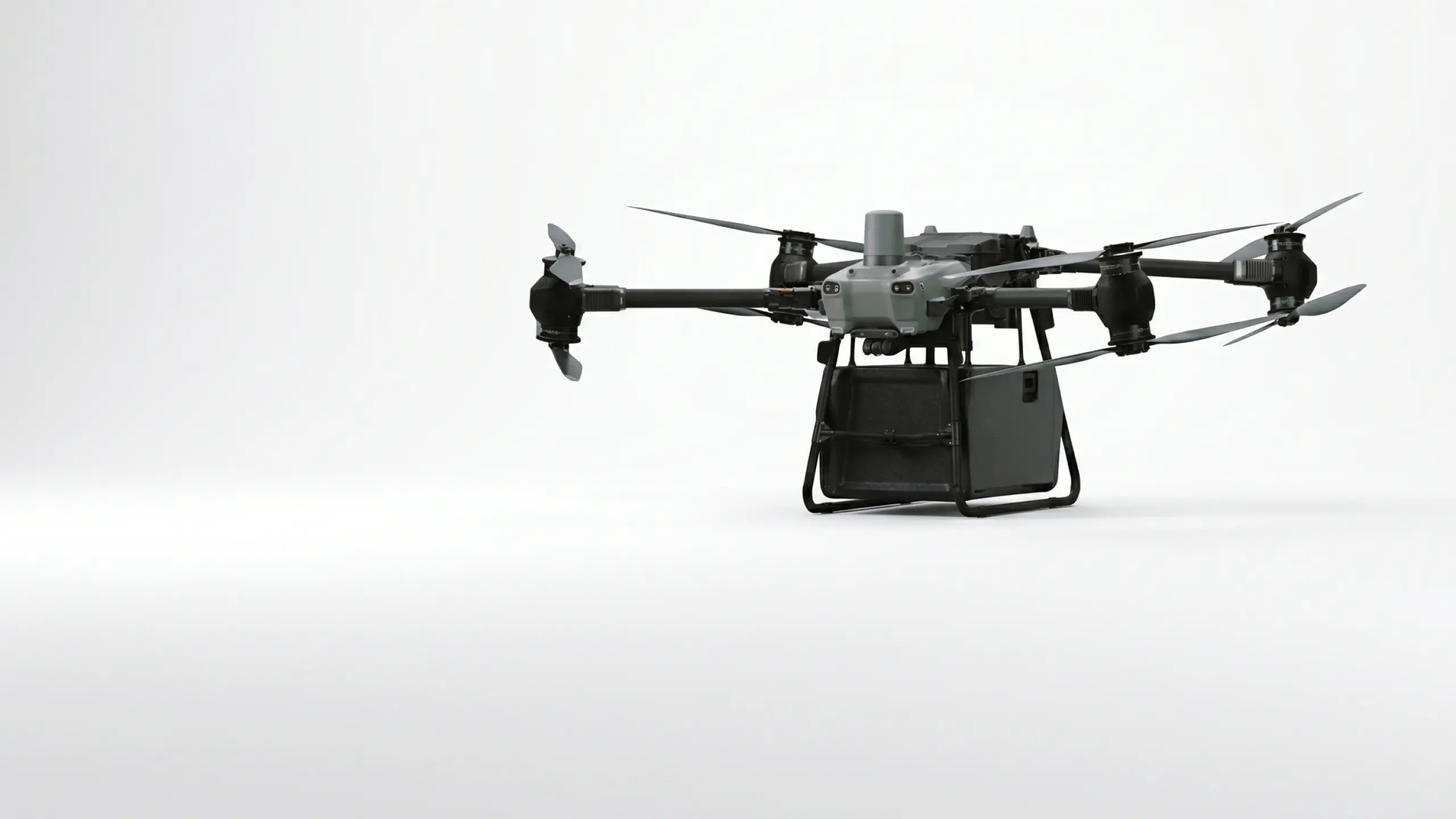
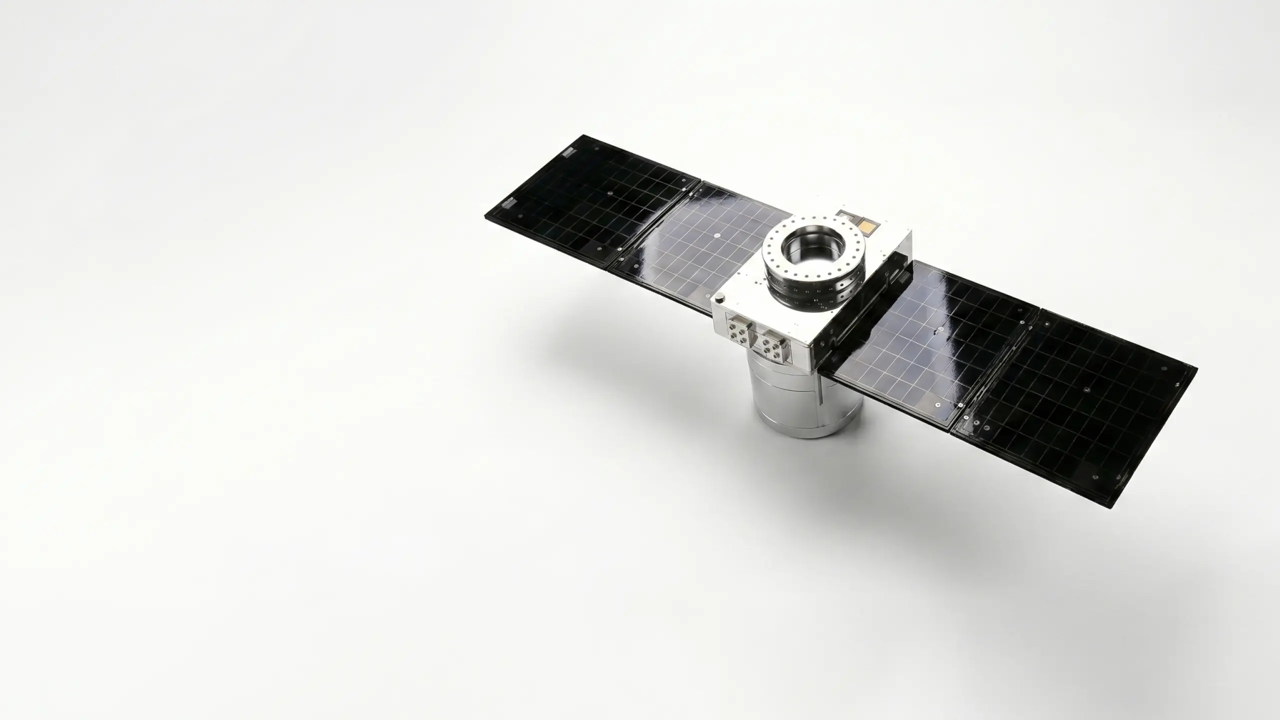
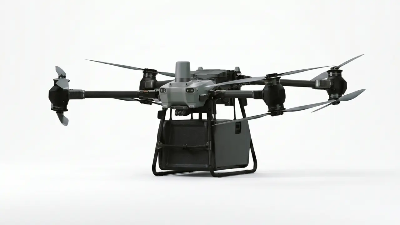
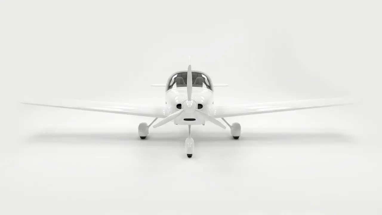
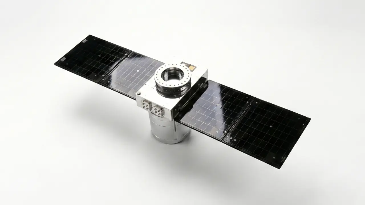
Our sensor suite spans from drone to orbit — drone-mounted TDLAS and SWIR systems and a LiDAR + SWIR satellite instrument designed for precision where others can't reach. Every sensor is developed in-house, validated, and proven in real-world commercial campaigns. Built to operate in conditions where other systems fail.
The AIRMO Instrument Suite
One instrument architecture adapted across all three platforms. This is unique in the industry: the same system that works on a DJI drone also works on an aircraft, and will work on a satellite. This enables cross-platform validation and a consistent data standard across all three layers.

Platform
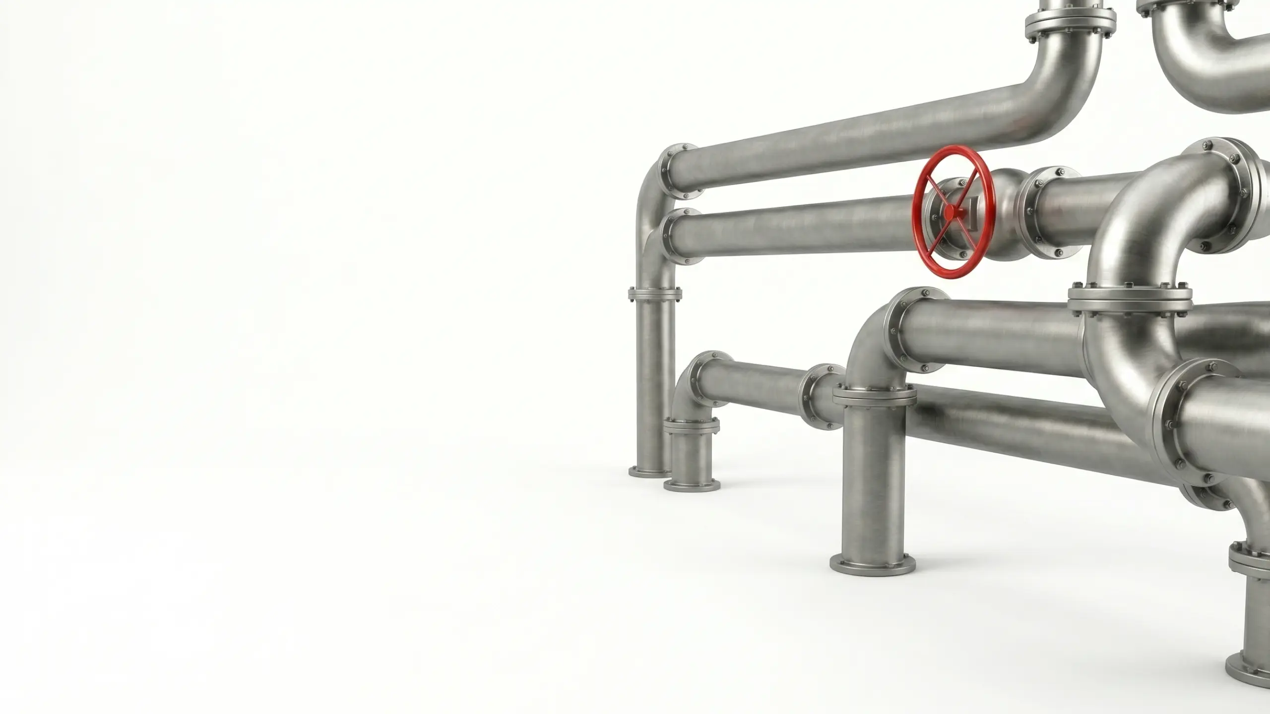
Ground
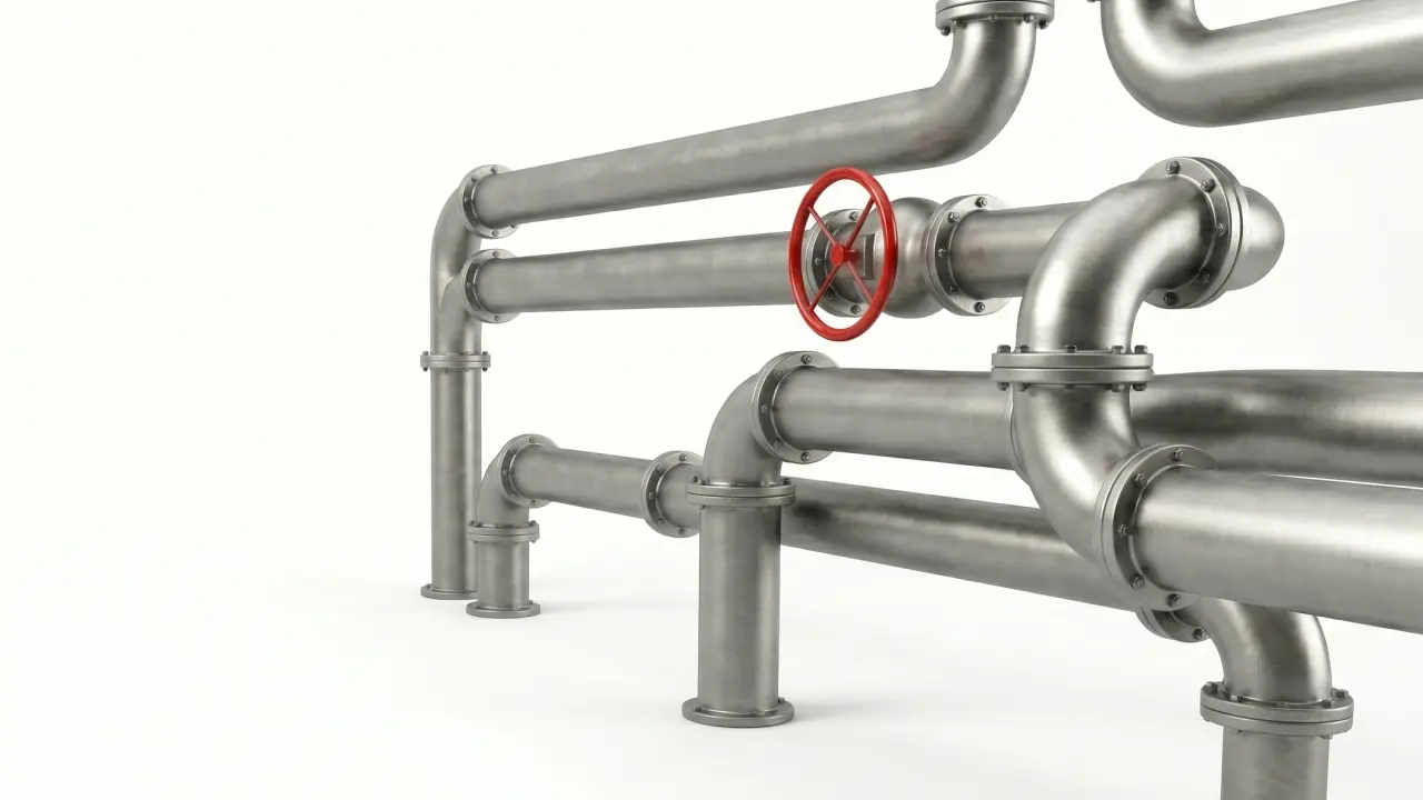
Drone
Aircraft
(push-broom)
Satellite
(LEO)
0
1
0
0
0
0
0
1
0
0
1
0
0
1
0
0
1
0
1
0
1
0
0
1
0
0
0
1
0
0
1
1
0
1
0
1
0
0
1
1
1
1
AIRMO’s data processing pipeline is a three-step retrieval process
Scene reconstruction
Forward model including scattering and surface model generates atmospheric radiance at the sensor, accounting for aerosol and cloud effects
Instrument simulation
Convolution with spectral response function and noise degradation to produce realistic payload data
Inverse retrieval
Species volume mixing ratio (CH4, CO2) derived using full-physics radiative transfer model plus machine learning for plume detection and emission quantification
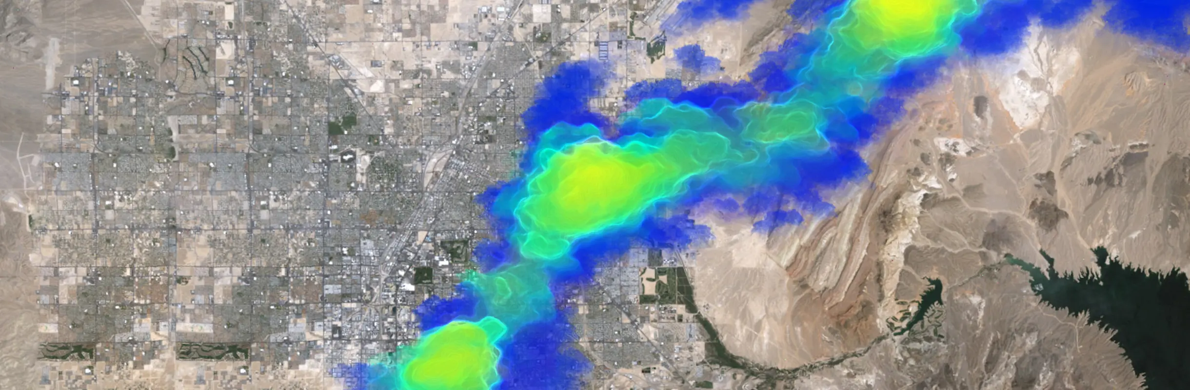
Technology validation
Successful blind controlled release experiments at TotalEnergies test facility.
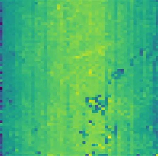
L2 XCH4 retrieved (ppb)
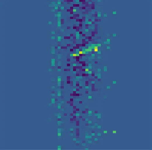
L3 dXCH4 retrieved (ppb)